
water supply and projects
Water in the Upper Gunnison River Basin is a shared and essential resource—supporting agriculture, communities, recreation, and ecosystems. The Upper Gunnison River Water Conservancy District (UGRWCD) leads and partners on a range of regional projects designed to better understand, protect, and sustain this vital water supply.
drought conditions
See the map below for a live drought status map of the Upper Gunnison Basin.
REGIONAL WATER SUPPLY PROJECTS
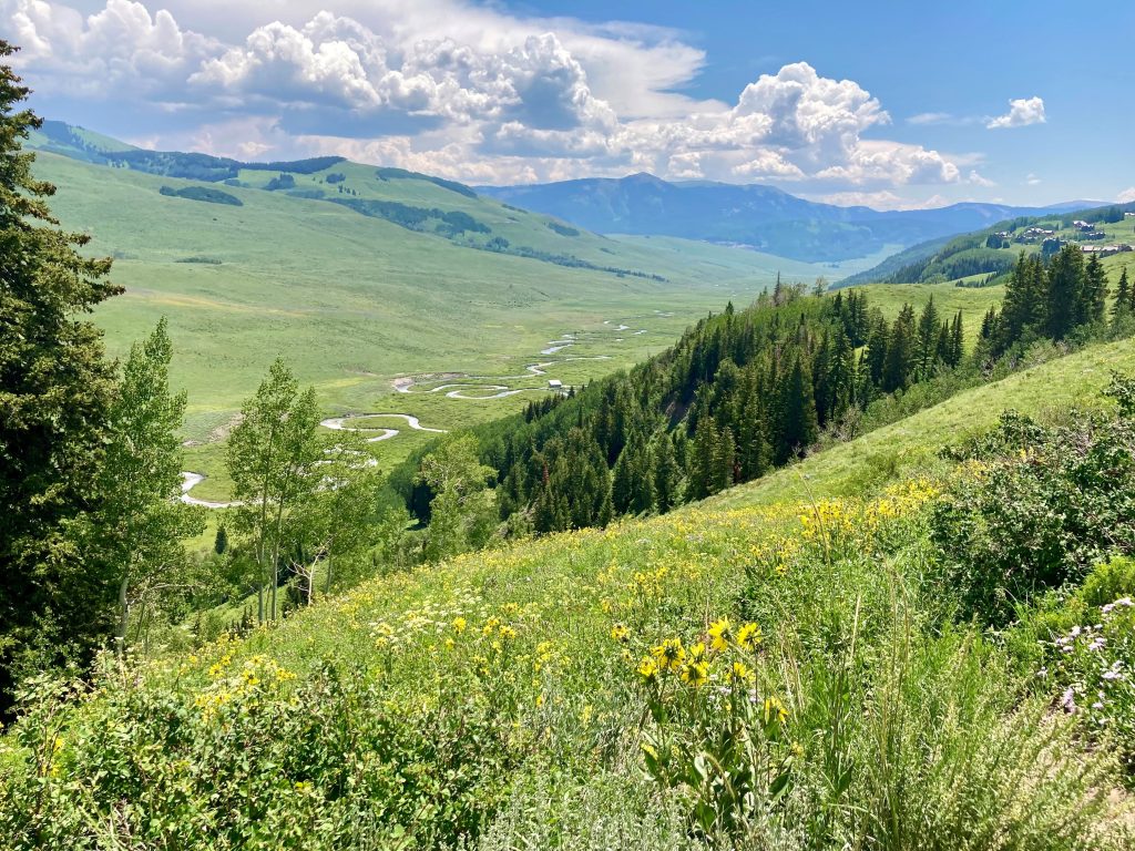
Reliable data is the foundation of effective water management. UGRWCD collaborates with local, state, and federal partners to monitor water quantity and quality throughout the Upper Gunnison River Basin. This includes streamflow measurements, snowpack data, soil moisture tracking, and other tools that help water managers understand current conditions and anticipate future supply.
This cooperative program has been in place for more than twenty years and is considered a trendsetter and model for cooperation among stakeholders that is used and copied by other entities across the state. The group consists of cooperators from numerous local entities such as the Upper Gunnison River Water Conservancy District, Lake San Cristobal Water Activity Enterprise, Gunnison County, Hinsdale County, Town of Crested Butte, Mt. Crested Butte Water and Sanitation District, City of Gunnison, Crested Butte South Metro District, Colorado River District, Bureau of Land Management, Bureau of Reclamation, and the National Park Service.
The District recognizes that high water quality is desirable and is a necessary part of a healthy economy and environment of the Upper Gunnison Basin. The District is concerned that adequate data exists upon which to make informed decisions about water quality matters in the basin, and that regulations of the state and others are promulgated and administered in a fashion that is consistent with the goals and desires of the local community. This group is a great vehicle for helping to maintain and improve water quality in the Upper Gunnison basin.
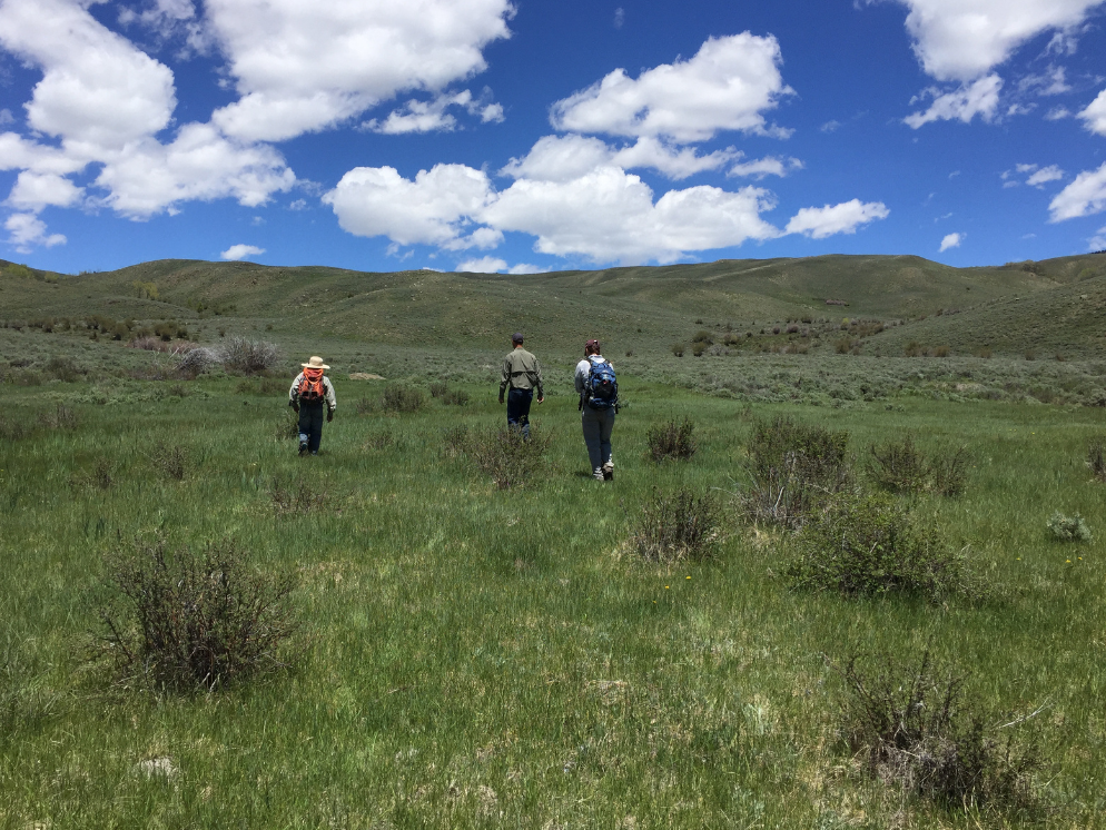
Healthy wetlands play a critical role in storing water, improving water quality, and supporting wildlife habitat. The Wet Meadows Program focuses on restoring degraded riparian and meadow systems using low-tech, process-based techniques such as rock structures and beaver dam analogs. These projects slow runoff, reduce erosion, and increase water retention across the landscape—helping the basin better withstand drought and changing climate conditions.
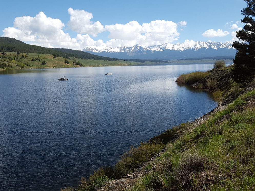
The Taylor Park Reservoir is a body of water that was created by the construction of the Taylor Park Dam in 1937 and is located 35 miles northeast of Gunnison.
The Upper Gunnison River Water Conservancy District is one of four signatories to the Taylor Park Reservoir Operation and Storage Exchange Agreement that was executed in August 1975. The “75 agreement” forms the basis under which the release patterns from Taylor Park Reservoir are determined each year. The other three parties to the agreement are the U.S. Bureau of Reclamation, the Colorado River Water Conservation District, and the Uncompahgre Valley Water Users Association. Each year, the four signatory parties to the agreement participate in an annual meeting (usually in May) and jointly adopt a plan for reservoir releases for the upcoming year.
Each spring, and as necessary throughout the summer, the UGRWCD seeks input and direction from local users of the Taylor River, Taylor Park Reservoir, and the main stem of the Gunnison River above Blue Mesa as to how the reservoir operations can best be optimized for stream fishery, reservoir fishery, irrigation, and rafting and boating purposes in the upper Gunnison basin.
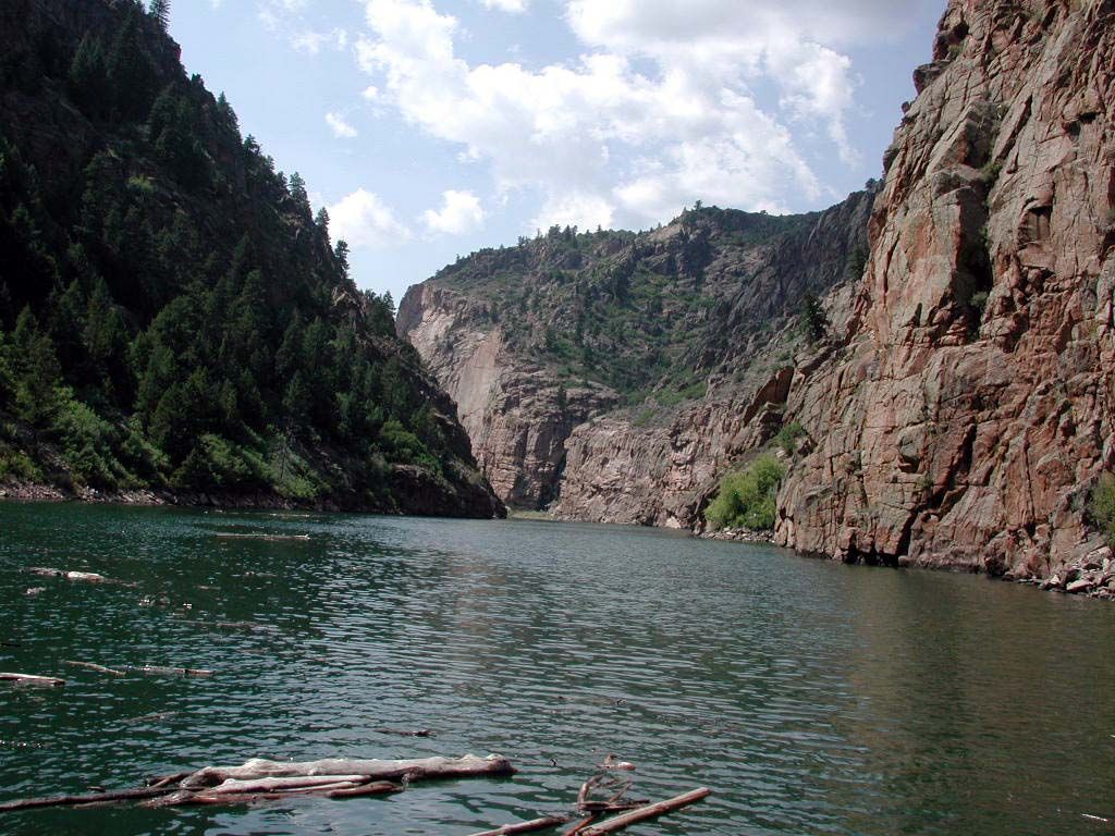
The Bureau of Reclamation provides us with the forecast for operations for the Aspinall Unit on a regular basis. The report includes information about snowpack in the Upper Gunnison Basin, forecasted inflows and storage amounts in Blue Mesa Reservoir, and projected spring operations.
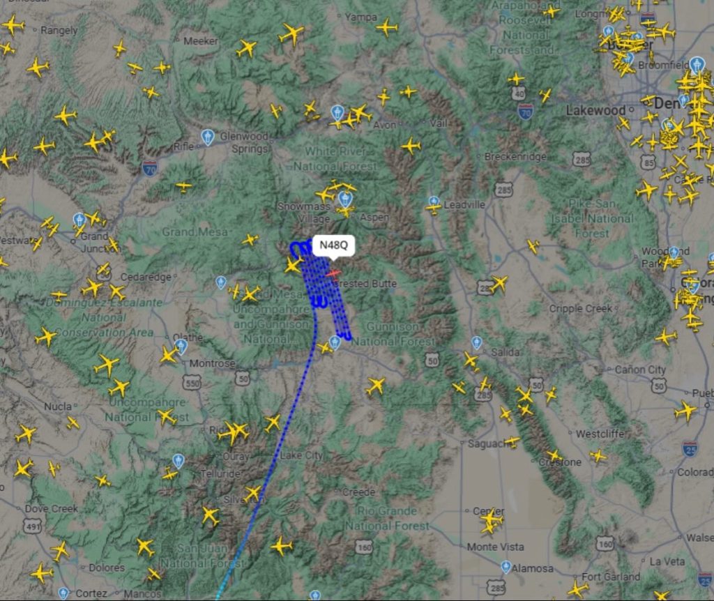
ASO flights use advanced LiDAR technology to measure snow depth and snow water equivalent across entire watersheds. These high-resolution aerial surveys provide some of the most accurate data available on how much water is stored in the snowpack and when it will melt. By improving runoff forecasting and water supply predictions, ASO flights support more precise reservoir operations and long-term planning in the Upper Gunnison Basin.
The Upper Gunnison Drought Plan is a collaborative, basin-wide effort to prepare for and respond to drought conditions. Developed with input from local stakeholders, the plan provides tools for monitoring drought, coordinating response actions, and building long-term resilience. It supports a shared understanding of drought impacts and encourages proactive, community-wide solutions to water shortages.
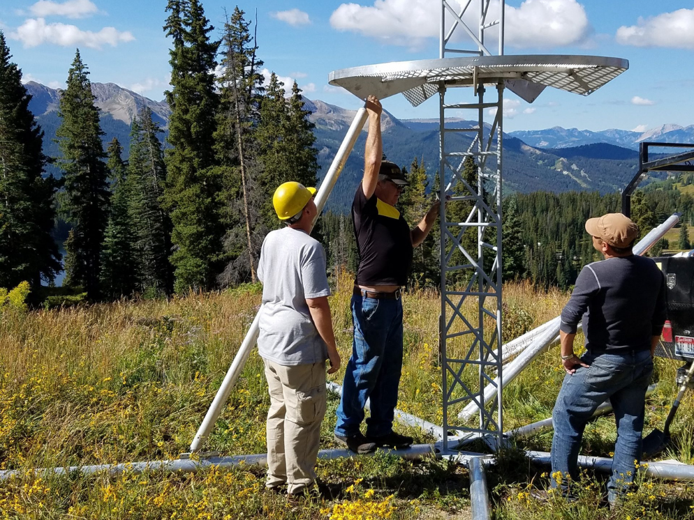
Cloudseeding is a weather modification technique used to enhance snowfall in targeted mountain areas. By increasing snowpack—the basin’s primary source of water—this program helps boost spring runoff and overall water availability. UGRWCD partners with regional and state programs to implement cloudseeding in key watersheds, supporting water supply reliability in both wet and dry years.
The UGRWCD has been part of this cooperative program since the 2004-2005 snow season and took over fiscal responsibility from Gunnison County in 2015. The Cloudseeding Program is carried out through an annual agreement with North American Weather Consultants. Partners in the program include the Colorado Water Conservation Board, Gunnison County, City of Gunnison, Town of Mt. Crested Butte, Vail Resorts, East River Sanitation District, Mt. Crested Butte Water and Sanitation District, Antelope Hills Water, and Dos Rios Water System.
The Cloudseeding Program consists of 14 – 17 silver iodide generators throughout the basin and one remote generator located at Lake Irwin. The target areas within the basin are those drainages above 9,000 feet that are tributary to the Upper Gunnison River. The average annual generator hours budgeted for this program are 2,500 hours. Actual seeding hours depends upon storm systems moving through the area. In some cases, generation has had to be curtailed due to avalanche danger.
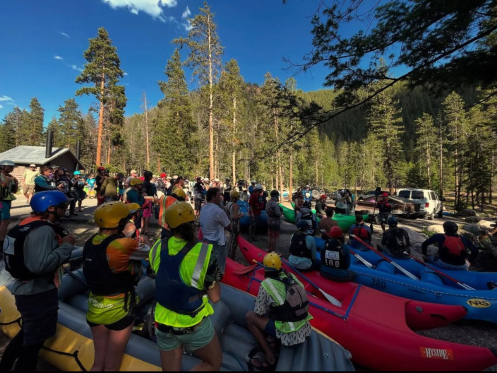
The Gunnison River Festival is an annual community event that celebrates the importance of local rivers while promoting education, stewardship, and recreation. Through races, clinics, and educational programming, the festival brings together residents and visitors to connect with the river and learn about the role water plays in the Upper Gunnison Basin.